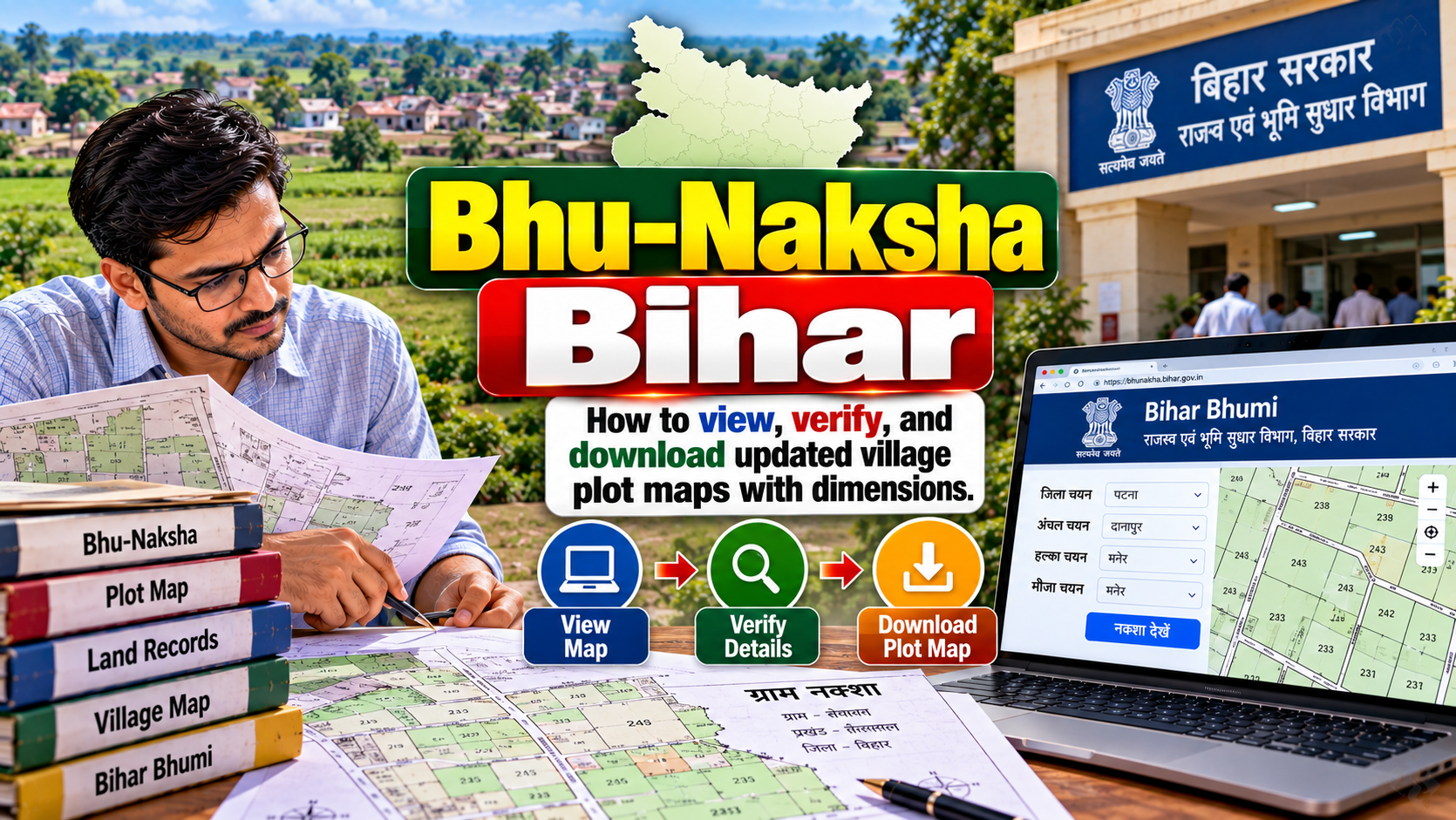
Bhu-Naksha Bihar is the official online system for viewing digitized village and plot maps published by the Government of Bihar. If you own farmland, plan to buy a plot or want to check ancestral property, it shows where a Khesra (plot number) sits inside its Mauza (revenue village). This guide explains how to reach the portal, choose the right survey stage, read what the map shows and cross-check it with other records.
Table of Contents
- What Is Bhu-Naksha Bihar?
- What You Need Before Searching for a Plot
- How to View a Village or Plot Map
- How to Check Plot Dimensions and Boundaries
- How to Check Whether the Map Is Updated
- How to Verify a Map Against Land Records
- How to Download or Save the Plot Map
- If the Plot Map Is Missing or Incorrect
- Bhu-Naksha vs Other Land Record Services
- Common Mistakes to Avoid
- Frequently Asked Questions
- Conclusion
What Is Bhu-Naksha Bihar?
Bhu-Naksha Bihar is a cadastral mapping system developed by the National Informatics Centre (NIC) for the Directorate of Land Records & Survey, Government of Bihar. A cadastral map is a revenue map. It shows how the land of a village is divided into numbered plots, each with its own boundary.
The official portal describes the system as software for managing digitized cadastral maps. It lists uploaded maps under two groups. Special Survey maps cover stages such as First Map, Boundary Verified Map, Khanapuri Updated Map, Draft Published Map, Draft Final Published Map and Final Published Map. Old Survey maps cover Cadastral Survey, Revisional Survey, Chakbandi Survey and municipality surveys.
Keep one distinction clear. A map shows the location and shape of a plot. It does not, by itself, tell you who owns it. Landholder details sit in textual records such as Jamabandi (Register-II), part of the Record of Rights. Those records are handled through separate services, including BiharBhumi. Treat the map and the record as two halves of one check.
What You Need Before Searching for a Plot
Collect these details first. They save a lot of trial and error on the portal:
- District
- Sub-Division
- Circle (the revenue administrative unit, often called Anchal)
- Mauza, meaning the revenue village
- Khesra number, the plot number assigned during survey
- Any survey details printed on your papers, such as the survey type or stage
The Mauza name in official records may differ from what people call the village locally, and it may not match the panchayat name. A single panchayat can include several Mauzas. Check the name on your Jamabandi copy, rent receipt or sale deed.
Do not mix up the Khesra number with the Khata number (which groups holdings under a landholder) or with other identifiers on a document. Each has a different purpose. If you are unsure which number is the plot number, check the heading of the column in your land record before you search.
How to View a Village or Plot Map on Bhu-Naksha Bihar
Open the official Bhu-Naksha Bihar portal. The welcome page has a button to view the map. The location and survey selections currently include District, Sub-Division, Circle, Mauza, Survey Type, Map Instance and Sheet No., along with Plot Info and map-viewing options. Portals change over time, so follow the labels you see on screen. Not every Mauza offers every choice.
Select District, Sub-Division and Circle
Choose your district first, then the Sub-Division, then the Circle. Choose them in that order, because the options are organised as a hierarchy. If your Circle does not appear, recheck the Sub-Division. Villages sometimes fall under a different administrative unit than people expect.
Select Mauza and Survey Details
Next, pick your Mauza. Then choose the Survey Type, which lets you separate the Special Survey from the older surveys. Then choose the Map Instance. Read each label carefully instead of guessing. If a Mauza shows only an older survey, that may be all that has been uploaded for it so far. Do not assume a Special Survey map exists.
Open the Relevant Map Sheet
Large villages are often divided across several map sheets, which is why the portal asks for a Sheet No. If you know your sheet number from a survey document, use it. If not, open a sheet and check whether your plot appears. Try the next sheet if it does not. Neighbouring plots on the edge of a sheet may continue on the adjoining one.
Find and Inspect the Plot
Use the Plot Info option, where available, or select a plot directly on the map. Then check three things:
- The plot number matches your Khesra number.
- The Mauza name matches your records.
- The shape and neighbouring plots agree with what you know on the ground, such as a road, pond, canal or a neighbour's field.
Zoom in gradually. A plot that looks correct at a distance may show a different boundary when you inspect it closely.
How to Check Plot Dimensions and Boundaries
Many users open the map hoping to read exact length and width. Before you do, separate these five ideas:
- Map scale: the ratio between distance on the map and distance on the ground. Check the scale shown for the sheet you are viewing.
- Plotted boundary: the outline drawn for the parcel on the digitized map.
- Recorded area: the area stated in the textual land record, in whatever unit that record uses.
- Displayed dimensions: measurements shown on screen, only if the map or plot information actually provides them.
- Physical measurement: the size of the land as measured on the ground.
These five can differ. A digitized boundary is a representation. It is not a fresh field measurement. If the portal shows an area or measurement for a plot, note the unit shown and compare it with the recorded area in your land record. Do not convert or assume a unit unless the source states it.
If the map does not display dimensions for your plot, do not estimate them by eye or by stretching the screen image. Small errors on screen can turn into large errors on land. For a purchase, a partition or a boundary dispute, rely on measurement by a qualified surveyor or the competent revenue authorities. Use the map as a starting reference, not as the final measurement.
How to Check Whether the Map Is Updated
An online map is not automatically the latest or final record. What matters is the survey stage. The official portal identifies these Special Survey stages:
- First Map: the initial map in the Special Survey series.
- Boundary Verified Map: a map after boundaries have gone through verification.
- Khanapuri Updated Map: a map updated after Khanapuri, the stage where plot and possession details are entered in prescribed forms.
- Draft Published Map: a map published in draft, so that claims and objections can be raised.
- Draft Final Published Map: a later draft stage before final publication.
- Final Published Map: the map published after the survey process for that Mauza is finalised.
The Directorate of Land Records & Survey also offers separate online services related to Khanapuri maps, draft maps and finally published maps. You can find them through the services page of the Directorate of Land Records & Survey.
To judge whether your map is current, look at the Survey Type and Map Instance you selected. Then ask which stages the portal actually offers for your Mauza. A village may show only some stages, and progress differs from one place to another. A Final Published Map represents a more advanced stage than a draft. Still, this article cannot tell you the legal effect of any stage for your land. If that matters for a transaction, ask the survey or settlement office or a qualified legal professional.
Also avoid assuming that an older Cadastral Survey or Revisional Survey map has been replaced. Compare the stage, the date if shown, and the plot numbers. Plot numbers can differ between old and new surveys, so check which one your papers refer to.
How to Verify a Bhu-Naksha Map Against Land Records
Verification means checking the map against textual records. Work through these steps:
- Match the plot number. Confirm that the Khesra number on the map is the same one in your record.
- Match the Mauza. A correct number in the wrong Mauza points to a different parcel.
- Compare the area. Check the recorded area in your Jamabandi (Register-II) against any area shown for the plot, keeping the units in mind.
- Check landholder and tenure details. Use the textual record, not the map, for names, shares and the type of holding.
- Check the survey stage. Note whether your record refers to the Special Survey or an older one, and whether a Khanapuri Parcha or later record exists.
- Look at neighbouring plots. Their numbers and shapes should fit together without gaps or overlaps that you cannot explain.
Be clear about the limits here. A matching map is a useful sign, but it is not conclusive proof of ownership. It does not replace title verification, and it does not replace legally required steps in a sale, gift or partition. For a transaction, get the records checked by a qualified professional. This guide describes how to look at records. It does not give legal conclusions.
How to Download or Save the Plot Map
Official public information about Bhu-Naksha Bihar mainly describes viewing maps. I could not confirm that every plot has a downloadable PDF, and you should not expect one. What you can do depends on the options shown on the portal when you open the map.
- Check the map screen. Look through the toolbar and menus for a print, save, export or similar option. Use it only if it appears for your map.
- Use the Directorate's services. The Directorate of Land Records & Survey lists online services connected to Khanapuri, draft and final published maps. It has also been listed on the National Government Services Portal as providing door-step delivery of revenue maps. Check the official services page for the current application route, eligibility, charges and timelines. Do not rely on figures quoted elsewhere.
- Ask the local office. If you need an official copy for a transaction or legal use, ask the relevant Circle or survey office what form of copy is available.
A screenshot can help you remember where a plot sits, but it is only a personal reference. It is not a certified copy and should not be presented as one.
What to Do If the Plot Map Is Missing or Appears Incorrect
Start with simple checks before assuming an error:
- Recheck the district, Sub-Division, Circle and Mauza. Wrong Mauza selection is the most common reason for a missing plot.
- Try other Survey Type and Map Instance options, including the older surveys.
- Try neighbouring map sheets.
- Confirm the plot number in your Jamabandi or other record. Old documents may use a different survey's number.
- Compare with the textual record for area and Mauza.
If the discrepancy remains, collect your evidence: a copy of the record, the plot number, the survey stage you viewed and screenshots showing the issue. Then approach the relevant Circle office or survey authority, and, for record errors, follow the correction route in the official services. Where a real boundary dispute exists, take advice from a qualified legal professional. A missing online map does not prove that the land is absent from official records. The map may not be uploaded yet, or it may sit under another survey.
Bhu-Naksha Bihar vs Other Bihar Land Record Services
These services do different jobs. They are not interchangeable.
| Service | What it offers | Use it for |
|---|---|---|
| Bhu-Naksha Bihar | Digitized cadastral maps | Seeing plot location and shape |
| Jamabandi / Register-II | Textual land record | Landholder, area, tenure details |
| BiharBhumi | Revenue department land-record services | Accessing record-related services |
| Bhu-Abhilekh | Digitized record services, where applicable | Checking availability for your area |
Use the official BiharBhumi portal for record-related services. For each service, confirm what is available in your district before you plan around it.
Common Mistakes to Avoid
- Selecting the wrong Mauza. Similar village names are common.
- Confusing old and Special Survey maps. Their plot numbers and boundaries may not match.
- Assuming the newest-looking map is final. Check the stage, not the appearance.
- Relying on the map alone. Always compare it with textual records.
- Using screen dimensions as a ground measurement. A map is not a substitute for professional measurement.
- Trusting unofficial websites. Many sites copy government information, and some are outdated or ask for money. Use the official Government of Bihar portals.
- Reading an unavailable map as a missing land record. It may simply not be uploaded or may sit under another survey.
Frequently Asked Questions
What is Bhu-Naksha Bihar?
It is the Government of Bihar's online cadastral mapping system, built by NIC for the Directorate of Land Records & Survey. It lets you view digitized village and plot maps from the Special Survey and older surveys.
How can I find my plot on Bhu-Naksha Bihar?
Open the official portal, select your District, Sub-Division, Circle and Mauza, then choose the Survey Type, Map Instance and Sheet No. Use the Plot Info option or select the plot on the map, and confirm the plot number.
Can I check a Khesra number on Bhu-Naksha Bihar?
Yes, the portal includes plot information options, so you can look for a plot by its number where the option is available. Confirm the Mauza and survey stage first, because the same number can belong to different parcels in different surveys.
Does Bhu-Naksha show plot dimensions?
It shows plot boundaries on the map. Whether length, width or area appear for a particular plot depends on what the portal displays for that map. If none appear, use the recorded area in your land record and get physical measurement done for any important decision.
How can I tell whether a Bihar village map is updated?
Check the Survey Type and Map Instance. The portal identifies Special Survey stages from First Map through Final Published Map. Note which stages are offered for your Mauza, because availability differs.
Is the Bhu-Naksha map proof of land ownership?
No. A cadastral map shows plot location and shape. Ownership and tenure details come from land records such as Jamabandi (Register-II), and legal questions need proper verification.
Can I download a Bhu-Naksha Bihar map?
That depends on the options shown for your map. I could not confirm a download for every plot. The Directorate of Land Records & Survey lists separate map-related services, so check its official services page.
What should I do if the map and land records do not match?
Recheck the Mauza, survey type, map instance and sheet. If the mismatch persists, gather your documents and screenshots and contact the relevant Circle or survey authority.
Conclusion
Using Bhu-Naksha Bihar well comes down to a few habits. Know your district, Circle, Mauza and Khesra number before you start. Select the correct survey type, map instance and sheet. Read the plot boundary and any area or dimensions as map information, not as a ground measurement. Check the survey stage instead of assuming a map is final, and compare what you see with your Jamabandi (Register-II) and other records. If you need a copy, use only the options the official portals actually provide. If something does not add up, take it to the relevant Bihar land-record or survey authority.